Proposals
Key information about the site
Pigeon is looking to bring forward an outline planning application for new market and affordable homes in Jack’s Hatch, green open space for new and existing residents to enjoy, and biodiversity enhancements.
Key benefits
Designed to meet the needs of the local community
The proposals present an opportunity to help deliver much needed housing through a development designed to respect and reflect the rural character and heritage of the local area.
- A mix of approximately 70 high-quality new homes.
- 50% of homes will be designated as affordable.
- A provision for new and enhanced pedestrian and cycle routes linking to the existing Public Rights of Way (PROWs).
- Significant public open spaces for formal and informal play.
- New and enhanced green infrastructure through retention of boundary vegetation and further native planting.
- At least a 10% net gain in biodiversity.
- Incorporating of ponds, wet woodlands and natural drainage features.

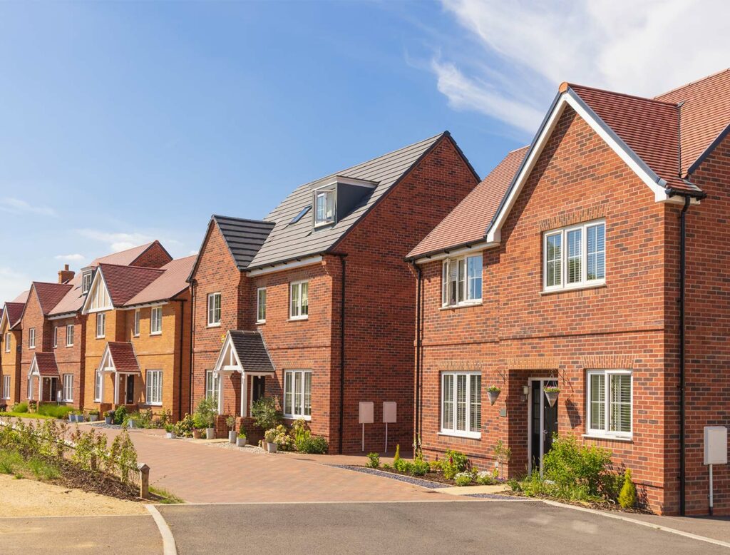
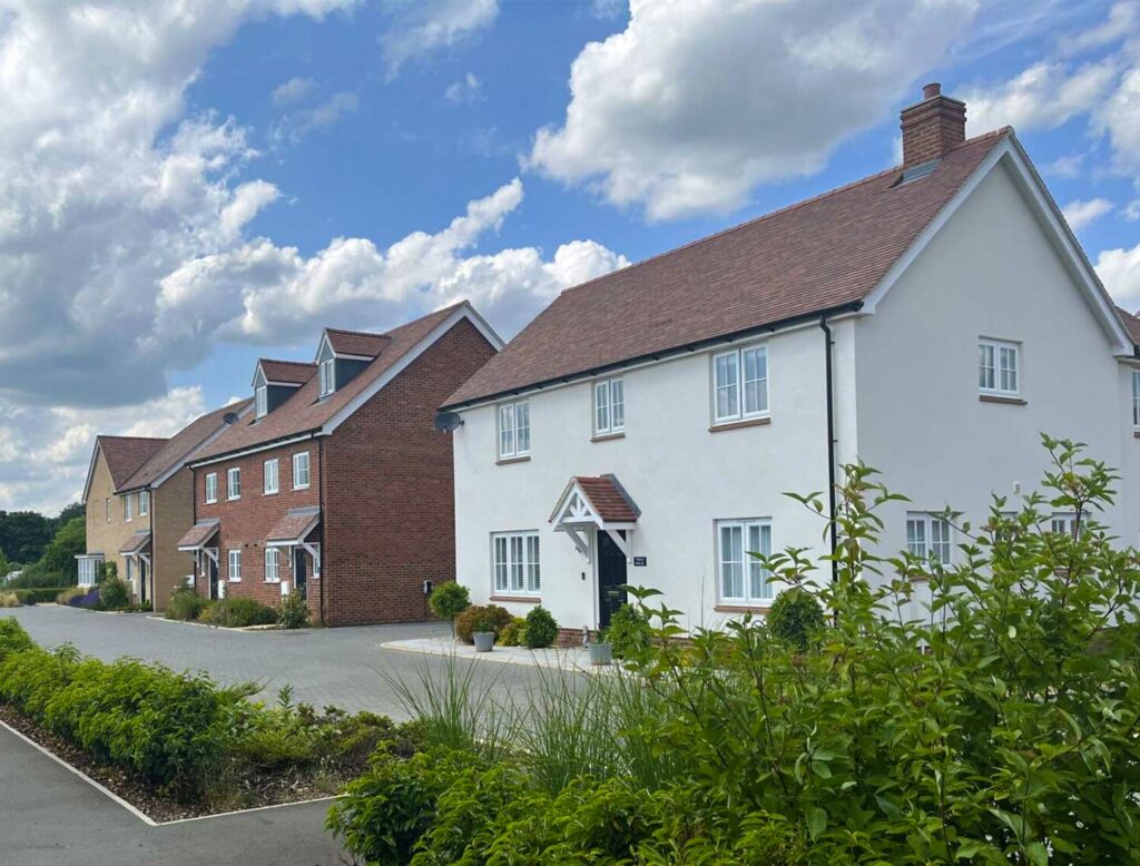
New homes
High-quality housing that meets local needs
The proposals will deliver up to 70 high-quality new homes, in a range of housing types sizes and tenures addressing the differing needs of residents in Jack’s Hatch.
The new homes will be designed to complement the local area and create a community with its own distinct sense of place, whilst respecting and preserving the existing character of the surrounding local area. An approach to sensitive, low-density housing will follow traditional farmstead patterns, reinforcing the rural identity of Jack’s Hatch. Given that this is an outline application and is to establish the principle for developing the new homes, further design details will come forward at a later Reserved Matters stage.
As part of the proposals, 50% affordable housing will be provided in varying sizes and tenures including affordable rent, shared ownership, and First Homes, offering a range of options for residents looking to get onto the housing ladder, and helping to reduce the housing waiting list within the district.
Flood mitigation
Sustainably designed surface water management to help prevent flooding
The southwestern portion of the site is identified as being particularly vulnerable to surface water flooding. As such, this area has been excluded from the developable footprint and will instead be fully utilised for further landscape and ecological benefits.
The proposals have been designed to effectively manage surface water. To do this, the proposals incorporate the following measures:
- Retention of natural drainage features such as ponds and ditches, which will help slow and store surface water runoff.
- Integration of wet woodland and modified grassland in low-lying areas to enhance water absorption and biodiversity.
- Protective buffer zones around key infrastructure, including the existing water main, to prevent interference with drainage systems.
- Sensitive site layout that avoids placing built development in areas with medium to high flood risk, as identified in the surface water flooding survey.
- Use of permeable surfaces and green infrastructure throughout the site to reduce runoff and promote infiltration.
The system is designed to manage severe weather that happens very rarely, such as 1-in-100-year storm event and to account for climate change.
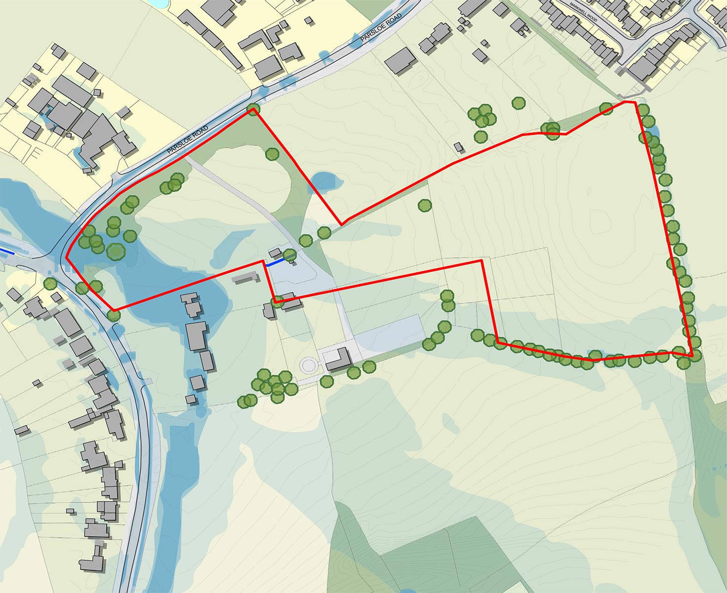
 Site boundary
 Low surface water flooding risk with climate change
 Medium surface water flooding risk with climate change
 High surface water flooding risk with climate change
 Canal or ditch
Site access
Carefully designed access arrangements
Our proposed vehicular access point for the new development will be taken from Parsloe Road, utilising an existing entrance point and supplemented by a proposed new access route further along the road.
In addition to this vehicular access point, there will also be several pedestrian and cycle access points connecting with existing Public Rights of Way, including a direct route Sumners Farm.
The access strategy also considers future opportunities to reroute existing bus services to better serve the site, improving connectivity and reducing reliance on private vehicles, helping to mitigate traffic congestion concerns of which will be assessed as part of the Transport Assessment as part of the planning application.
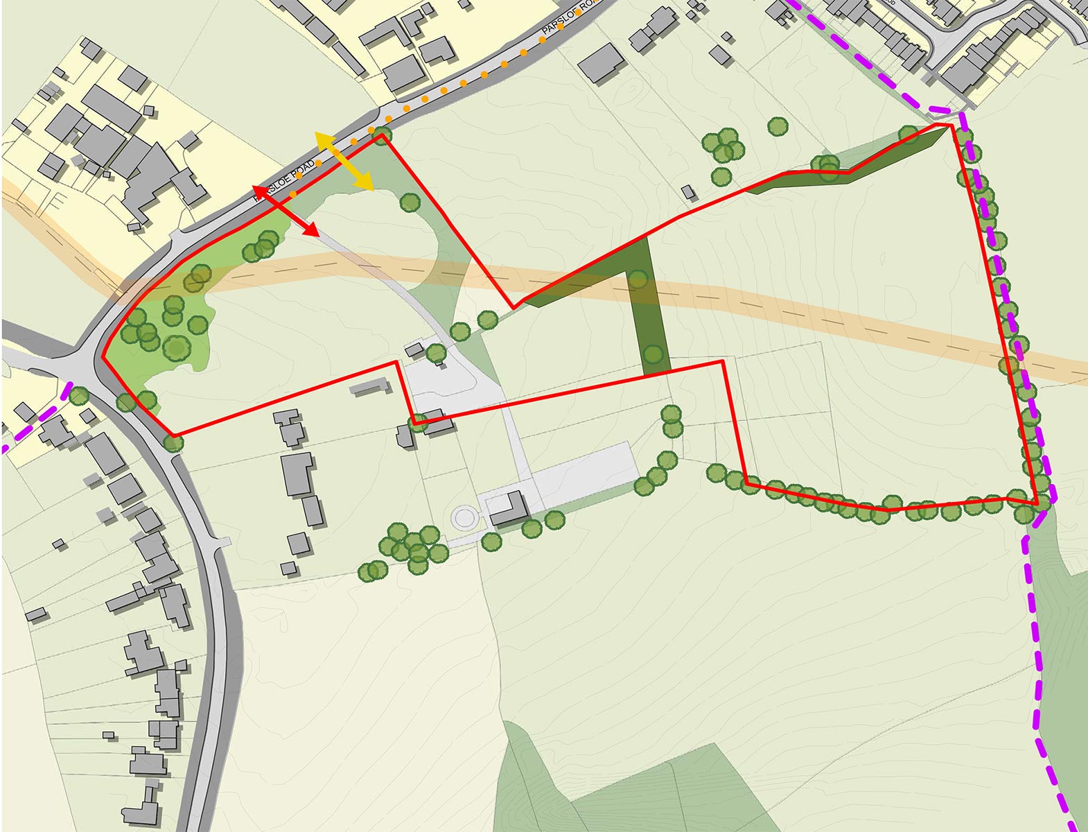
 Site boundary
 Route to Sumners Farm (0.2miles)
 Existing site access
 Proposed site access
 Existing Footpath
Specialising in land promotion, commercial and residential development, and property investment. Pigeon has become a leading force in the region, working to unlock the delivery of over 22,000 new homes and associated community infrastructure.
Pigeon is recognised for its bespoke, collaborative approach to each project, working closely with local communities and authorities to deliver sustainable, landscape-led developments that enhance their surroundings. From major urban extensions to complex regeneration sites, Pigeon’s track record demonstrates a commitment to quality, partnership, and long-term value – principles that will be fully reflected in the proposed development at Jack’s Hatch.
For more information on Pigeon, please visit www.pigeon.co.uk.